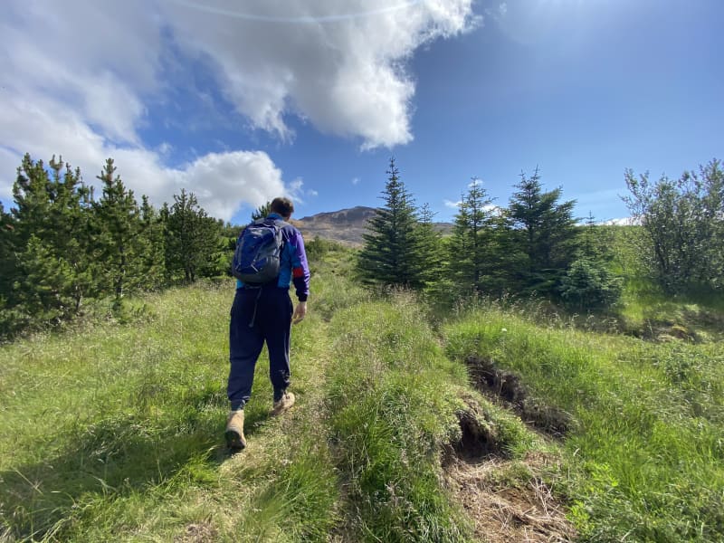
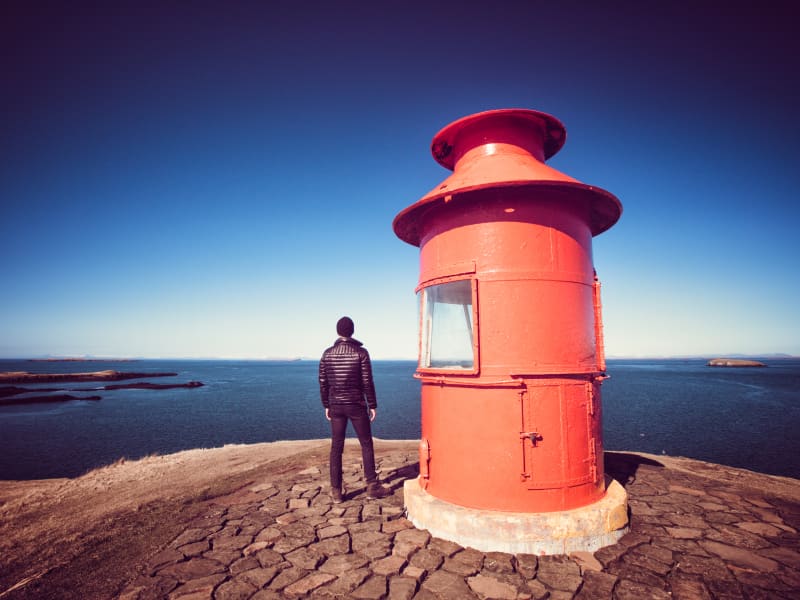
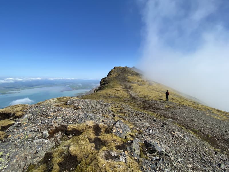
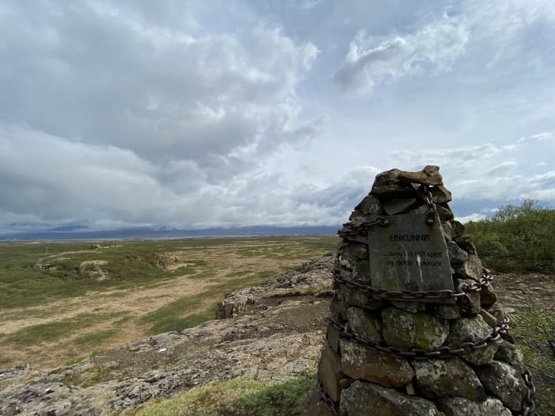
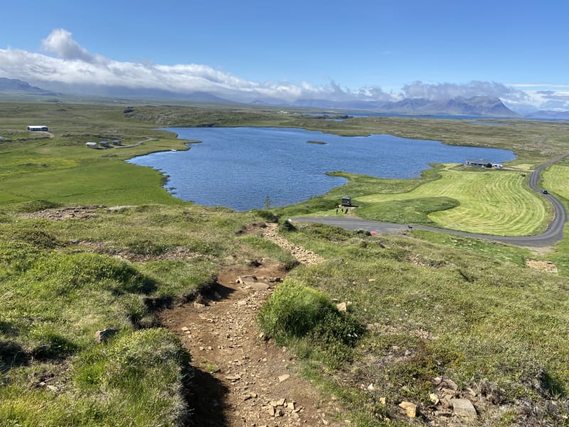
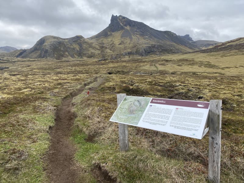
Hvanneyri walking trail
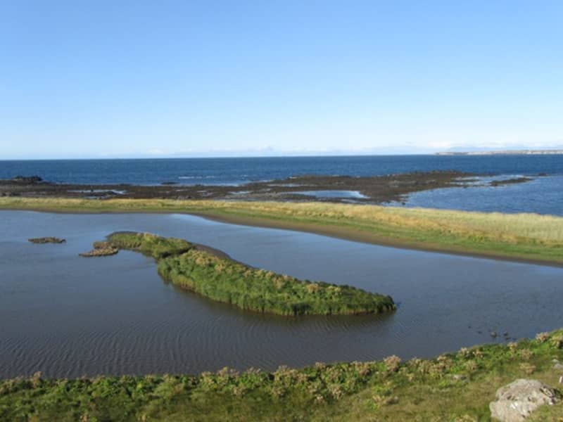
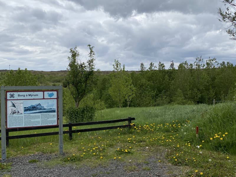
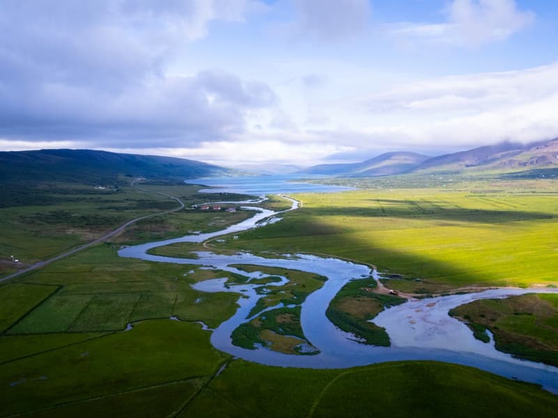
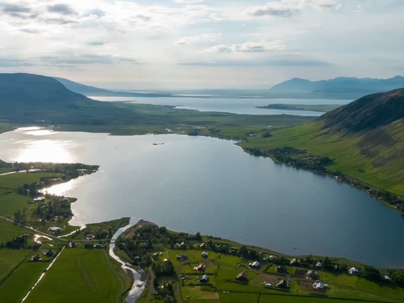
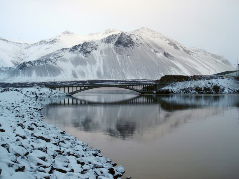
Hvanneyri is a small, growing urban area in Borgarfjörður, where the headquarters of the Agricultural University of Iceland (LBHÍ) is located, but also where the Agricultural Museum of Iceland is located, the store Ullarsel and Hvanneyratorfan, which are the old schoolhouses in Hvanneyri. The trail goes out to Andakílsá, a protected area of the Environment Agency, a Ramsar site, that is a bird sanctuary around Hvanneyri. Hvanneyrartorfan is a protected area of the Heritage Foundation, but in addition, the Agricultural University of Iceland has taken care of the maintenance of footpaths in the area as well as volunteers. There has been a lot of development in hiking trails and outdoor recreation areas in Hvanneyri and has a wide attraction for outdoor enthusiasts.
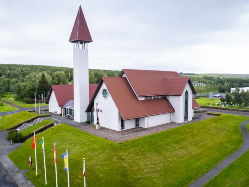
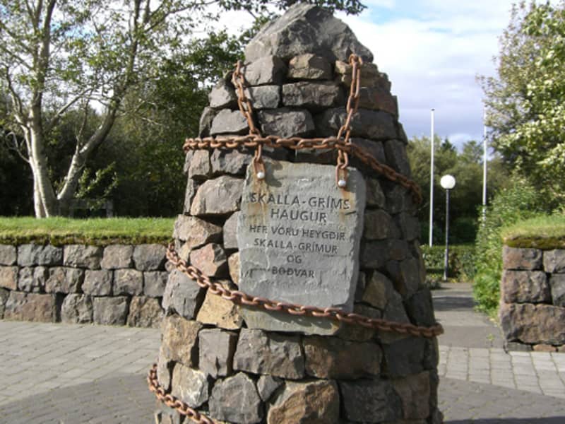
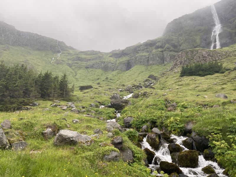
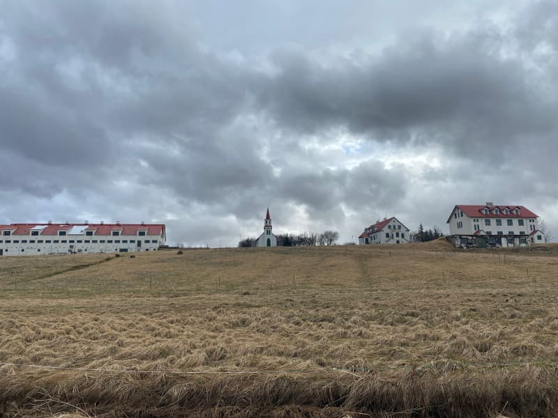
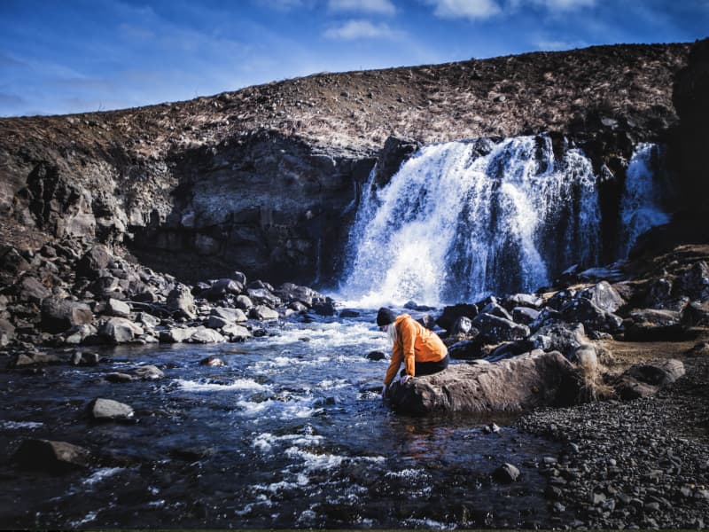
Hvanneyri has history, nature and outdoor activities to offer. The bird life in the area is varied, but the attraction ofwildlife has drawn many tourists to see the whitefronted goose, whose protected area is in Hvanneyri. Torfan attracts visitors to Hvanneyri, but the old school buildings are still in use and have different functions, such as a cafe, sportshall, museum building and apartments for the teachers of the University of Agriculture.
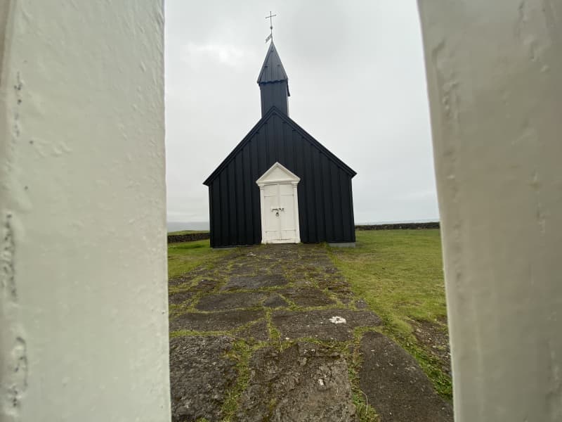
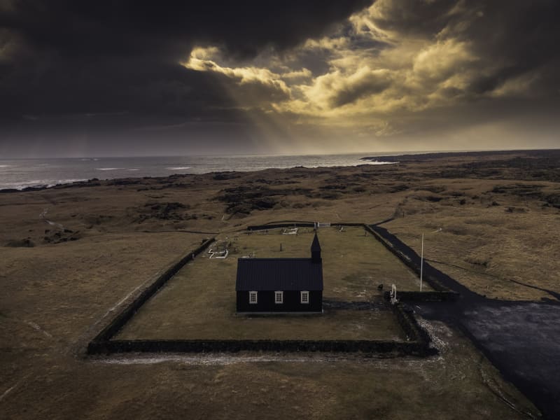
Hvanneyrartorfan is on the Icelandic Heritage Foundation's list of protected buildings and structures, but they areHvanneyrarkirkja (built in 1905), School House (built in 1910), School Principal's House (built in 1920), Skemman (built in 1896), Gymnasium (built in 1911), Hjartarfjós ( built between 1900-1901), Halldórsfjós and barn (builtbetween 1928-1929) and Vélahús. The Environment Agency protected Hvanneyri as a habitat for birdlife in 2002, but then expanded the area in 2011 and was then named Andakíll. The goal of conservation was and is to protect the wetlands found there, which are the habitat of numerous bird species.
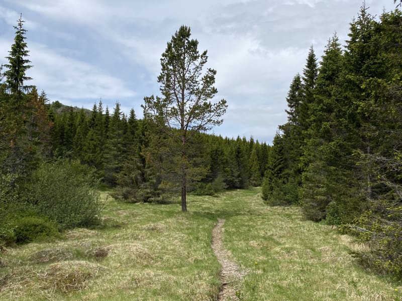
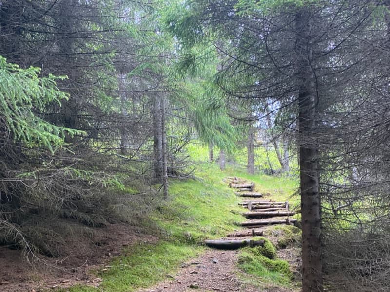
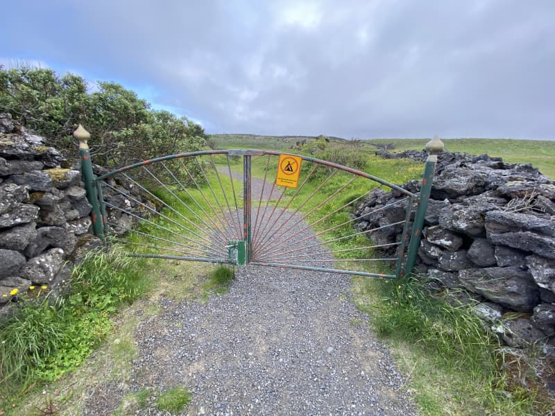
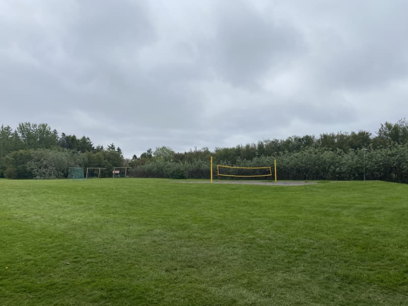
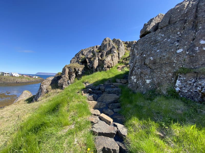
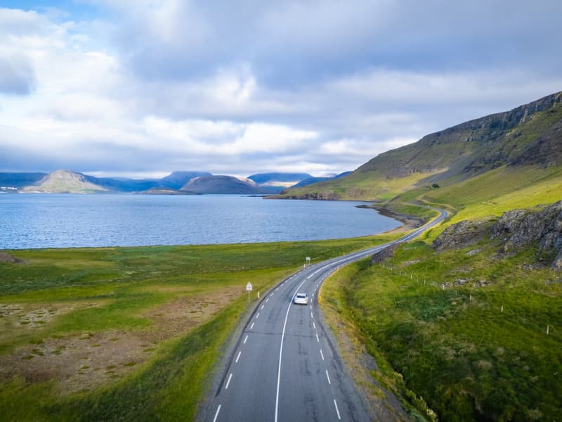
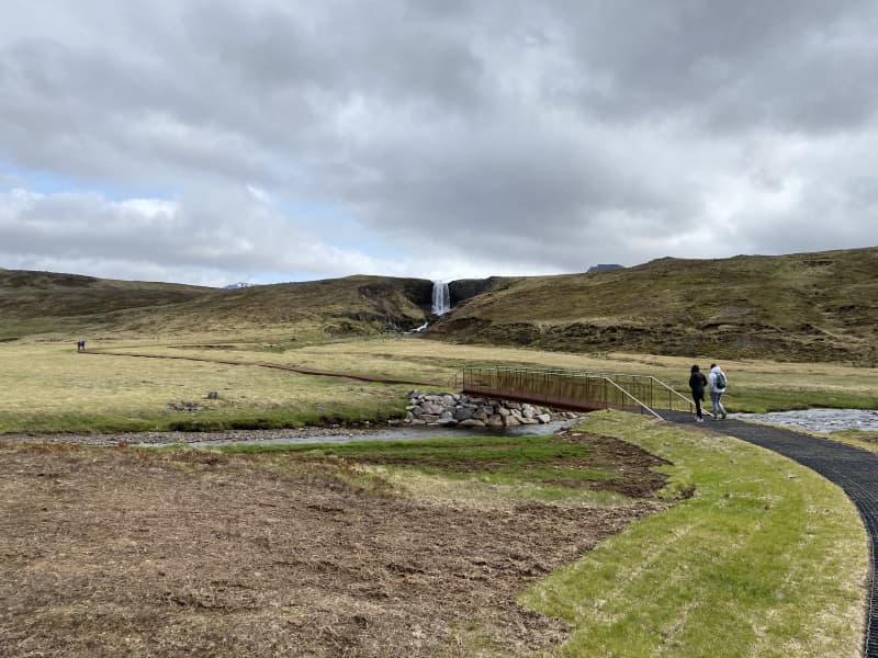
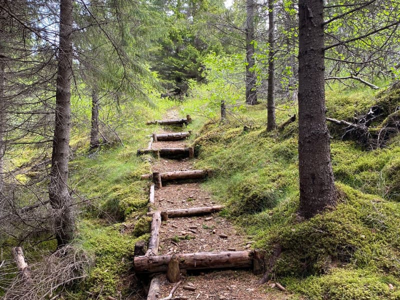
The trail starts at the parking lot of the Icelandic Museum of Agriculture and goes towards LBHÍ, heading out to Andakílsá. The trail joins the main road in a small section, but otherwise you walk on dirt roads, mats, paved paths, tree trunks and some rocks.
From April 20 to July 20 is the nesting season for birds, so visitors to the area are advised to pay special attention to birdlife in the protected area. Dogs/cats are not allowed to roam freely in the area.
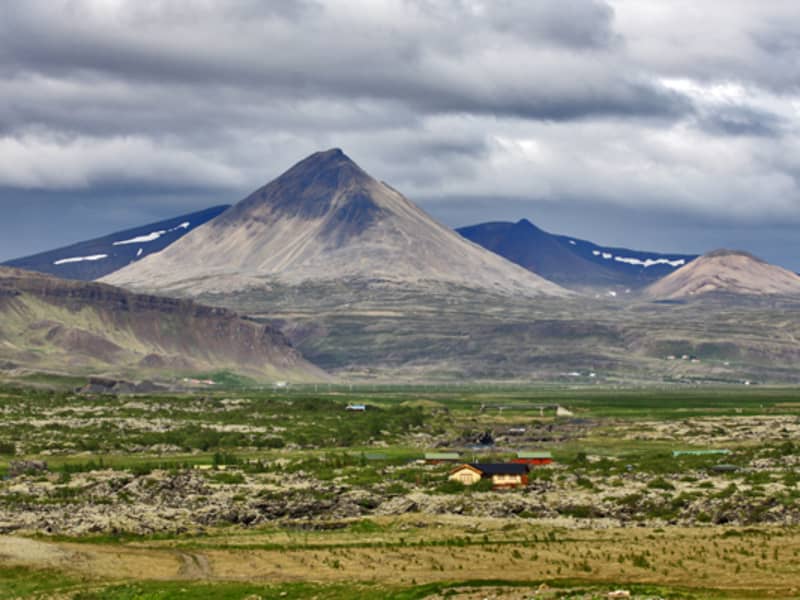
Area: Hvanneyri, Borgarbyggð.
Road number to the starting point: Agricultural Museum of Iceland (Hvanneyrabraut no.53).
Level of difficulty: Easy path.
Length: 8.77km
Elevation: 12 meters.
Markings: Path is marked but not everywhere.
Duration: 1.46 hour.
Route type: Small rocks, mixed materials and tree curls.
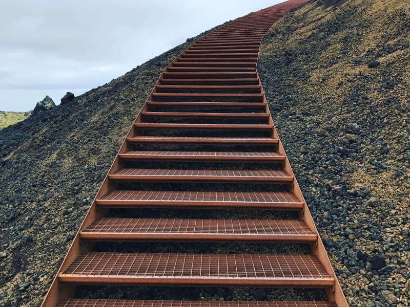
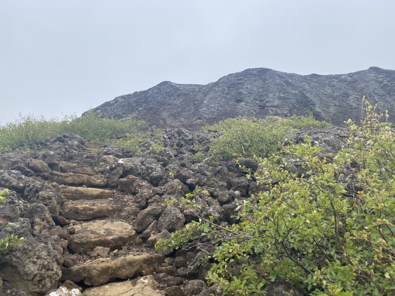
Obstacles on the way: Steps are on the paths.
Services on the way: At the Agricultural Museum, at the Ullarsell store and at the LBHÍ.
Illumination: No illumination.
Season: The trail is open all year round but it is important to stay on the trail from 20th of April to 20th of July each year because of the nesting season in the area.
GPS coordinates starting point: N64°33.8794 W 021°45.9281
GPS coordinates finishing point: N64°33.8794 W 021°45.9281