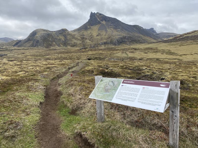
Rauðhóll hiking trail
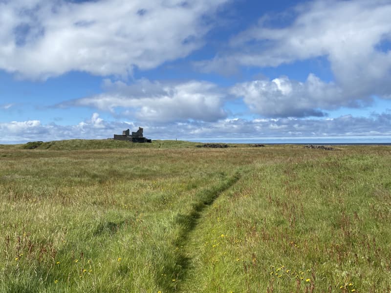
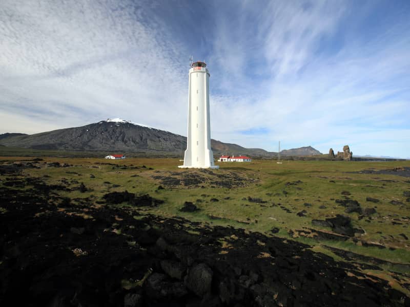
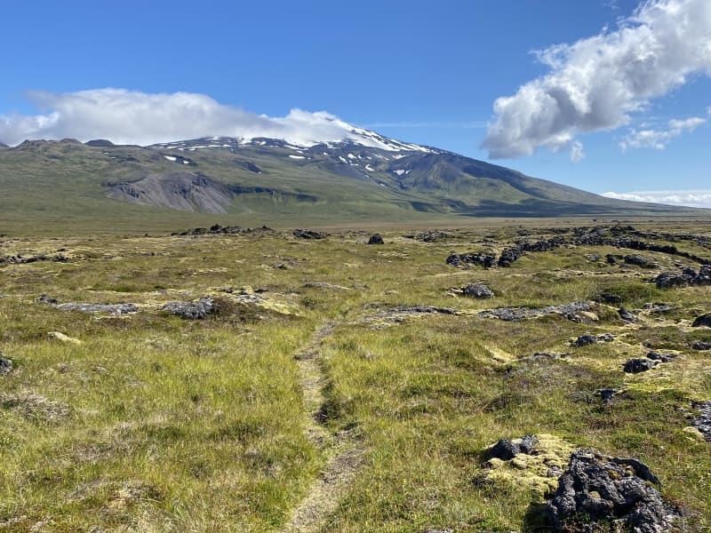
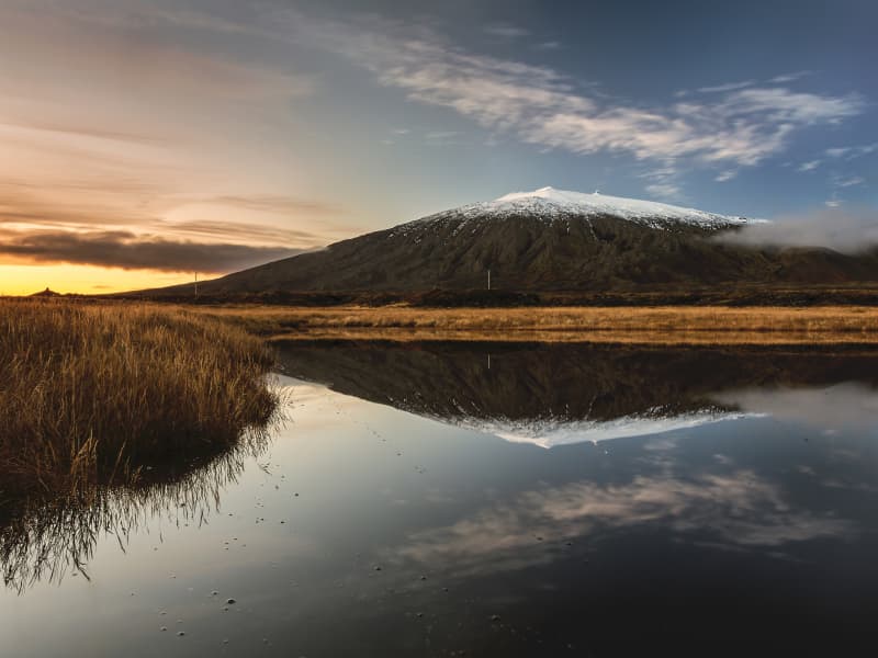
From the crater Rauðhóll, lava flowed into the sea, all the way from Hellisandi to Skarðsvík. A marked path leads from the parking lot at Eysteinsdalsvegur to Rauðhóll, with the hiking trail going over an old lava field along with grass and small rocks, next to beautiful ponds that have formed around the area. Rauðhóll is in the protected area of theIcelandic Environment Agency, and you should keep in mind to avoid off-trail walking, in order to protect the area from trampling. Rauðhóls trail is one of 35 trails that have been put up in the trail brochure for SnæfellsjökullNational Park, and there you can find information about the length of the trail in km, the duration of the trail and information about trail markings. When hiking up Rauðhól, the view down to Öndverðarnes and Saxhól, together with theproximity to Snæfellsjökull, is great and the view of the surrounding countryside is also immense.
Area: Rauðhóll, Snæfellsjökull national park.
Road number to the starting point: Útnesvegur (no. 574). Eysteinsdalsvegur (F575).
Level of difficulty: Moderate.
Lenght: 2.83km.
Elevation:103 meters.
Markings: Markings are visable.
Duration: 43 minutes.
Route type: Lava field, grass and small rocks.
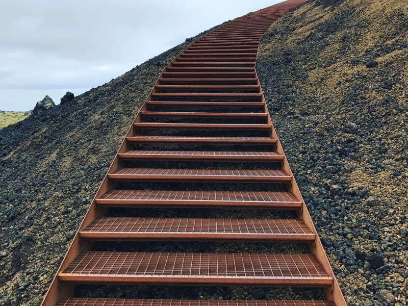
Obstacles: Steps are on the path.
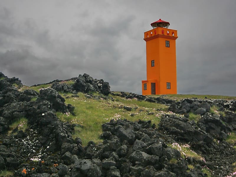
Services in the area: No services.
Illumination: No illumination.
Season: The trail is open all year, but it is advised the the path may be slippery due to ice during the winter and the areais wet with mud during March until May.
GPS coordinates starting-and ending point: N64°52.1638 W023°52.8236