Langjokull Glacier
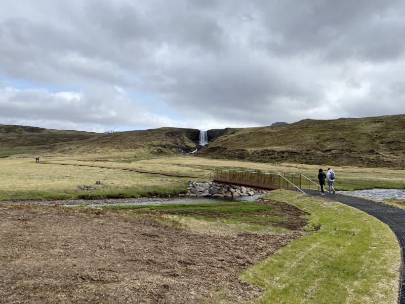
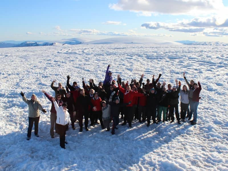
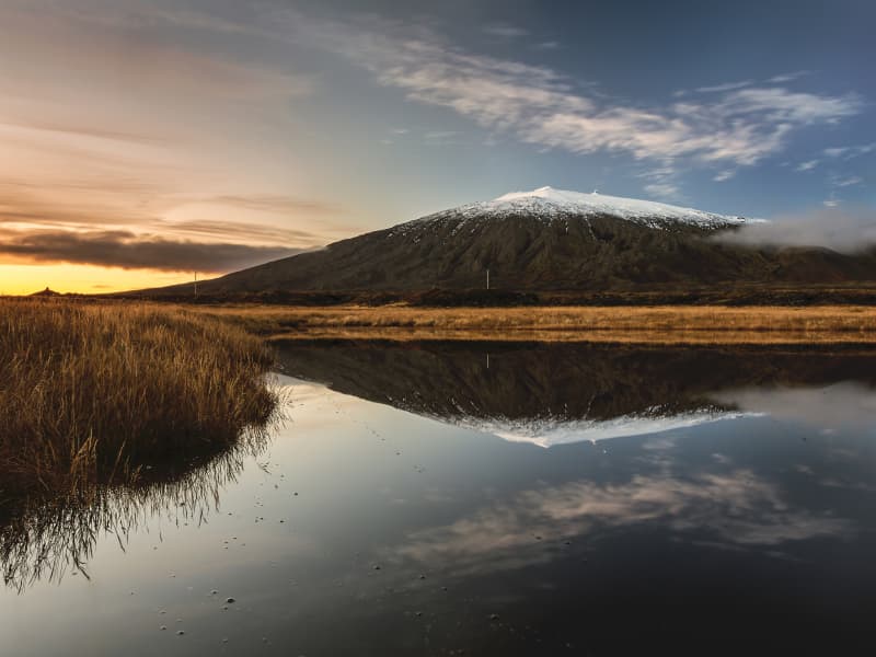
Langjökull, located in Borgarfjörður, is Iceland’s second-largest glacier, covering an area of 950 km². It offers some of the best accessibility among glaciers in Iceland. Visitors can join tours on the glacier itself or explore the man-made ice tunnels, which are the largest of their kind in the world. On a clear day, the views from the glacier are absolutely breathtaking.
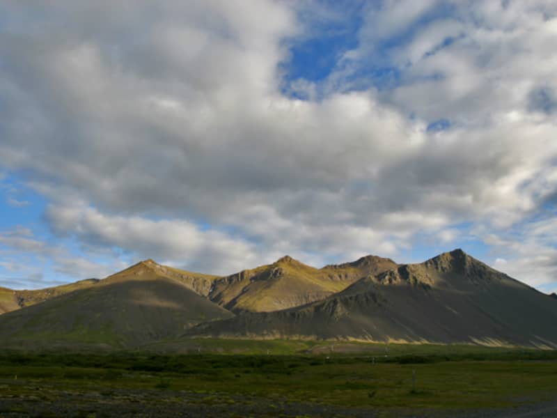
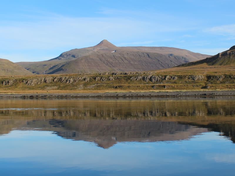
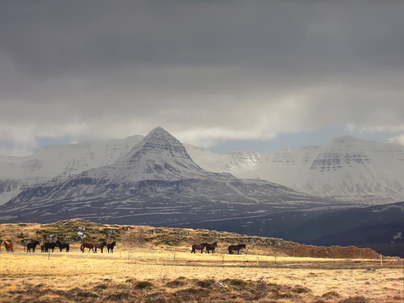
The glacier’s highest peak rises to 1,355 meters, with most of its surface lying at an elevation of 1,200–1,300 meters above sea level. The glacier is surrounded by various hills and mountains, with numerous outlet glaciers extending from it. Nearby, smaller glaciers such as Eiríksjökull, Þórisjökull, Hrútafell, and Ok (which has lost its status as a glacier) can also be found.
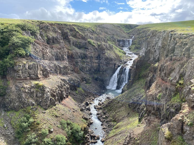
All the geothermal water sources in the region, including those feeding Brúará, Þingvallavatn, the Reykjanes mountain range, Arnarvatnsheiði, Borgarfjörður, Reykjavík and its surroundings, as well as the Geysir area, originate from Langjökull.
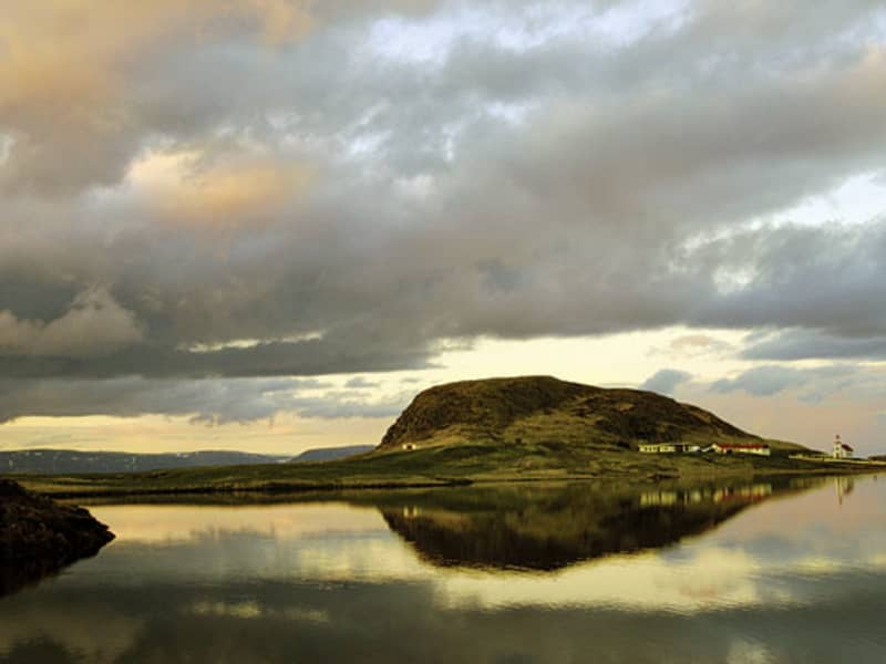
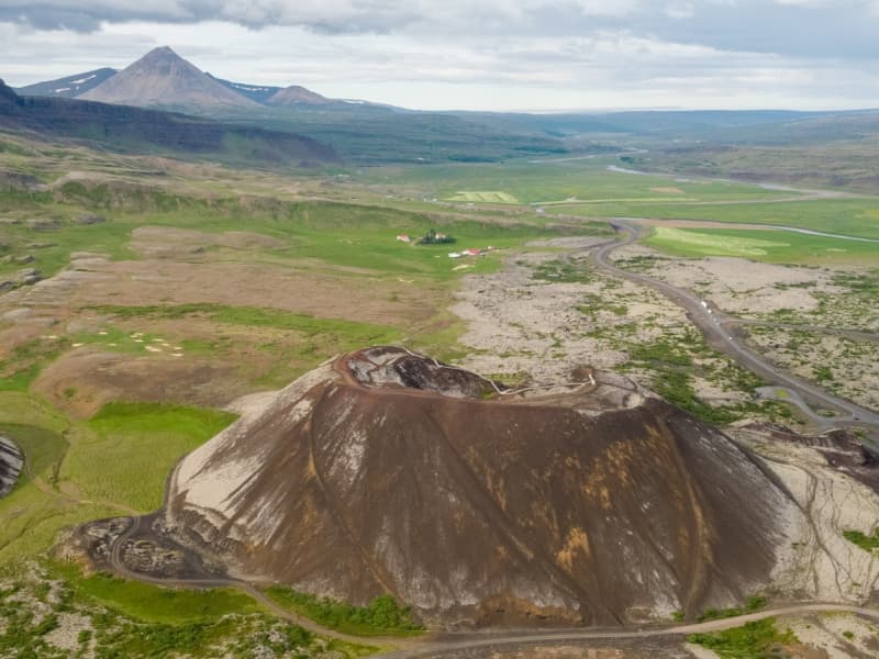
Langjökull belongs to the western volcanic zone, the same zone as the Reykjanes Peninsula and the Hengill volcanic system. While it has not been particularly active in modern times, it has produced several large shield volcano eruptions, the most significant being the formation of Skjaldbreiður. The largest lava flow from the glacier since Iceland’s settlement is Hallmundarhraun, which erupted in the year 900 from craters on Langjökull’s northwest edge.
Seismic activity has been fairly high around Langjökull, indicating the presence of active volcanoes beneath the glacier. However, these are not currently considered to pose a significant threat.