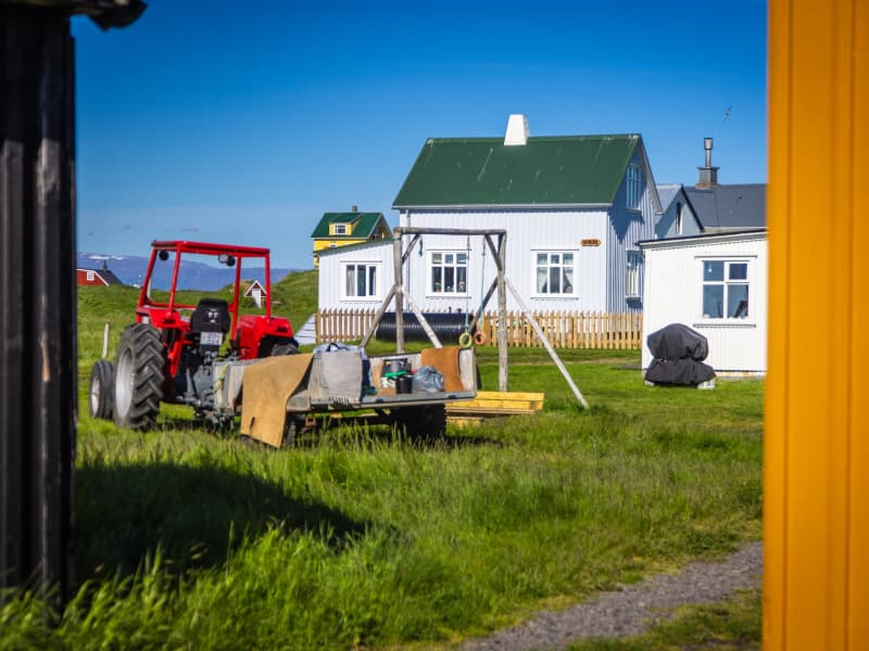
Breiðafjörður
Breiðafjörður is a large shallow bay, about 50 km wide and 125 km long and located in the west of Iceland. It separates the region of the Westfjords (Vestfirðir) from the rest of the country. Breiðafjörður is encircled by mountains, including glacier Snæfellsjökull the Snæfellsnes peninsula on the south side and the West Fjord peninsula to the north. Another interesting feature of the bay is that the northern tip was formed about 15 million years ago, whereas the southern end at Snæfellsnes was formed less than half that time ago.
View
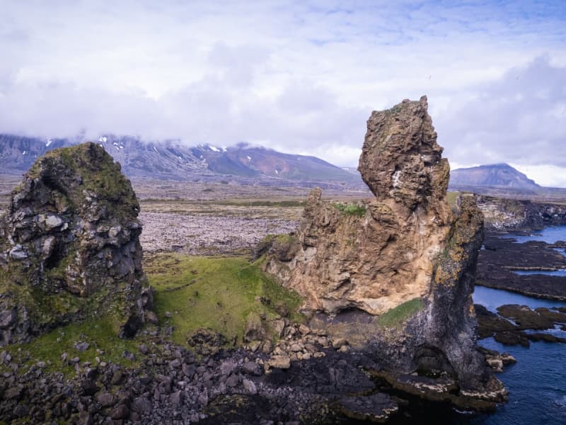
Londrangar basalt cliffs in Snaefellsnes
Uniquely-formed remnants of ancient basalt volcanic dikes sticking out from the sea.
Londrangar and the hill Svalthufa are the remains of a crater, which has been eroded to its present form by the sea.
The farmers in the area never made or make hay on the hill, because it is said to belong to the elves living in the area.
Younger lava fields surround this old crater ruin. The higher pillar (75m) was first climbed in 1735 and the lower (61 m) in 1938.
Below the hill you may find Thufubjarg cliff where according to a folktale the poet Kolbeinn Joklaskald had an encounter with the Devil.
On these cliffs, puffins and fulmars have their nests.
View
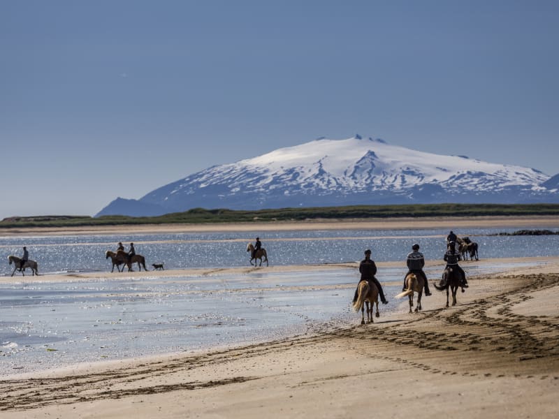
Löngufjörur beach
Löngufjörur is a light sandy beach on the south shore of Snæfellsnes Peninsula. This beach is perfect for horseriding with an experienced guide. It's not recommended to hike/walk there without a guide who knows the area well. It's important to be careful around cliffs in the area and know the tides. The beach can always be dangerous due to unpredictability of the waves and quicksand.
View
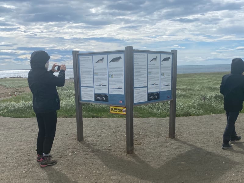
Ytri Tunga walking trail
Ytri-Tunga beach is first and foremost one of the best seal-watching spots in Iceland. Seals come here to hang around thanks to rocky shore where they can find a perfect combination of mainland and the close proximity of the safe ocean. A lot of work has been put in for brand new walking trails, from the car park to the shore.
Please bear in mind the following:
Please keep a minimum distance of 50 metres to the nearest seal. If pups are observed, a 100 m distance to the nearest seal is recommended.
If a seal makes a sound, moves or seems alert, it might be a sign of disturbance. In that case, move further away.
Females often leave their pups temporarily to go hunting. Plese do not attempt to access or touch the pups that appear to have been abandoned. Leave the pups alone so the mother can return to her offspring naturally.
Never position yourself between a seal and the ocean. It is important that the seal has easy access to the water to feel safe and secure.
When walking towards the seals, do so with slow and calm moves. Avoid loud noises and, if talking, keep your voice down. Leave the area in the same quiet manner.
Do not throw objects in the area close to the seals.
Avoid using camera flash when photographing.
Seal welfare may be negatively impacted by large groups of people in the seal habitat. On arrival, if you encounter a large group of people already close the the seals, please wait until some of the people leave.
Dogs are to be kept on leash at all times.
-------------------------------------------------------------------------------------------------------------------------------------------------
Area: Ytri-Tunga, Snæfellsnes
Road number to the starting point: Car parking at Ytri-Tunga, Snæfellsnesvegur (no. 54)
Level of difficulty: Easy/Moderate
Length: 1.67 km.
Elevation: 7 m.
Markings: Markings are on the route
Duration: 27 min.
Route type: Small rocks, mixed materials and grass
Obstacles on the way: There are steps on the trail
Service in the area: No service
Illumination: No illumination on the route
Season: The route is open all year round
GPS coordinates to the starting- and the finishing point: N 64°48.2310 W 023°04.8595
View
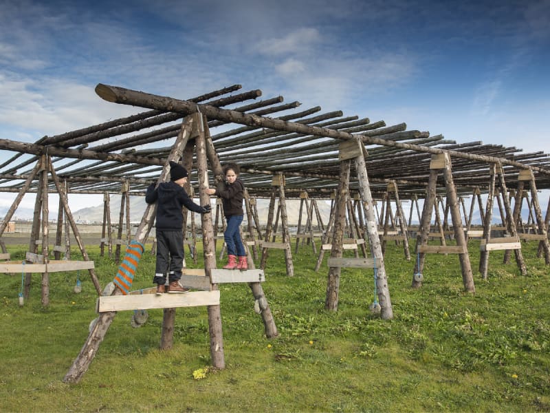
Breið
Breið is the southernmost part of Akranes and the location of the fishing history of the town. There are two lighthouses open to the public as well as a view point.
For more information contact Akranes Information Office, tel: +354 433 1065, e-mail info@akranes.is.
View
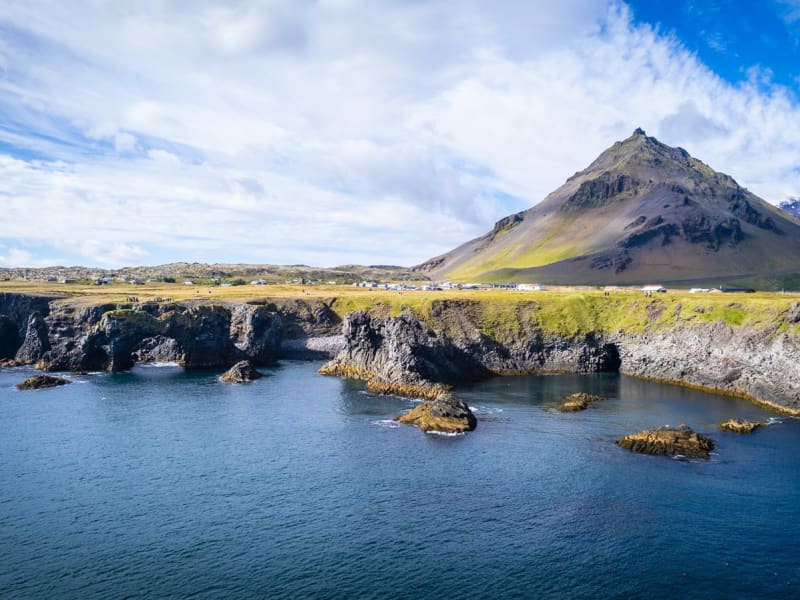
Arnarstapi
Arnarstapi was an important trading post in the past and had a much bigger population than it has now.
Columnar basalt, ravines and grottoes surround the Arnarstapi pier. There is good anchorage for small boats.
There is quite a large arctic tern colony in the village itself. A walk along the coastline is recommended to watch the birds and the magnificent lava formations. The seaside and the cliffs between Arnarstapi and Hellnar have been made a Natural Reserve in 1979.
A very interesting old path follows the coastline where you can see old lending places of fishermen, lots of birds like the kittiwake, the Arctic tern and the fulmar and pass through a lavafield. If you take a guided tour, you will also hear a ghost story.
A sculpture of Bardur Snaefellsas by Ragnar Kjartansson stands by the beach at Arnarstapi.
View
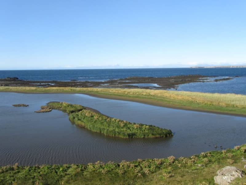
Blautós
Blautós og Innstavogsnes
At the north western rim of the town Akranes is the estuary nature reserve Blautós and Innsatvogsnes. The river Berjadalsá runs out of the western part of mount Akrafjall and mouths into the cove. The area has an abundance of bird life and is amply vegetated. The landskape is spectacular and has interesting geological formations from the last glacial periods.
The area is used for recreation as it is close to the centre of the town Akranes and the recidents have their stables by the cove Innstavogur.
Many migration birds stop at the area and some birds breed there. Brant gees stay at Blautós and Innstavogsnesi during spring and autumn. It is estimated that about a quarter of the entire brant geese species come by in Blautós and Innstavogsnes and the reserve Grunnafjörður on their way between their winter quarters in Ireland and breeding grounds in Canada.
There are eider ducks breeding in the area and the eider farmers are free to continue their tradition of collecting the eiderdown in early summer.
The area is important as an informative area but also as a recreational area for hiking and riding.
View
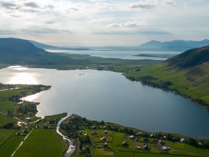
Meðalfellsvatn lake in Kjós
Meðalfellsvatn Lake is a good place for bird watching. The Great Northern Diver nests by the lake, while Harlequin Ducks are attracted in great numbers by gnats and by the larvae at the bottom of the river Bugða in the early spring. Meðalfellsvatn Lake has always been popular for trout fishing and sometimes even salmon fishing. The waterways of Bugða and Laxá are home to all of Iceland´s freshwater fish: salmon, trout, char, eel and stickleback.
View
