Skip to content

Or try searching by Category and/or Location

Interesting places in Snæfellsnes

Snæfellsjökull National Park
Snæfellsjökull National Park is located at the edge of Snæfellsnes in the West part of the country. It is about 18km2 and the first national park to stretch from the top of the mountain and all the way down to the ocean. The Park is open all year long. There is a Visitor center at Malarrif and National Park Center at Hellissandur . See a map of the area in 3-D. Snaefellsjokull National Park 
Arnarstapi
Arnarstapi was an important trading post in the past and had a much bigger population than it has now. Columnar basalt, ravines and grottoes surround the Arnarstapi pier. There is good anchorage for small boats. There is quite a large arctic tern colony in the village itself. A walk along the coastline is recommended to watch the birds and the magnificent lava formations. The seaside and the cliffs between Arnarstapi and Hellnar have been made a Natural Reserve in 1979. A very interesting old path follows the coastline where you can see old lending places of fishermen, lots of birds like the kittiwake, the Arctic tern and the fulmar and pass through a lavafield. If you take a guided tour, you will also hear a ghost story. A sculpture of Bardur Snaefellsas by Ragnar Kjartansson stands by the beach at Arnarstapi.
Berserkjahraun lava
Berserkjahraun is a 4000-year-old lava field situated on the Snæfellsnes peninsula. It covers the western part of Helgafell, between Stykkishólmur and Grundarfjörður. The name Berserkjahraun comes from one of the Icelandic Sagas, Eyrbyggja-Saga. According to the saga, a farmer brought two berserkers from Sweden to the Snæfellsnes Peninsula. He later gave the berserkers to his brother, Víga-Styr, who lived on the other side of the lava field. One of the Swedes fell in love with Víga-Styr’s daughter and asked for her hand in marriage. Víga-Styr made a deal with the berserker, he could have his daughter’s hand if the two Swedes could clear a path through the lava field, connecting Víga-Styr’s farm to his brother’s. The feat was considered impossible but the berserkers managed to complete the path quite quickly. Instead of keeping his promise, Víga-Styr had the two Swedes killed and buried them near the path. The lava field was created after four scoria craters erupted in short intervals around 4000 years ago. The lava ran from the mountain slopes of Bjarnarhafnarfjall and out to the sea at Hraunsfjörður and Hraunsvík.
Breiðafjörður
Breiðafjörður is a large shallow bay, about 50 km wide and 125 km long and located in the west of Iceland. It separates the region of the Westfjords (Vestfirðir) from the rest of the country. Breiðafjörður is encircled by mountains, including glacier Snæfellsjökull the Snæfellsnes peninsula on the south side and the West Fjord peninsula to the north. Another interesting feature of the bay is that the northern tip was formed about 15 million years ago, whereas the southern end at Snæfellsnes was formed less than half that time ago.
Búðakirkja Church
The little black church, Budakirkja Church is located at Budir on Snaefellsnes Peninsula. People come from around the world to seal their love at the church. 
Kirkjufell mountain
Kirkjufell – an Iconic Landmark of West Iceland Like stepping into a work of art – Kirkjufell holds a rare harmony of form, natural magic, and mysterious light. This is a place you’ll want to see – and feel – for yourself.  Kirkjufell rises dramatically, 463 meters above sea level, by the town of Grundarfjörður on the Snæfellsnes Peninsula. Its exposed and distinct geological layers offer valuable insights into the glacial history of the region. Standing alone like a sentinel overlooking Breiðafjörður Bay, Kirkjufell is one of Iceland’s most photographed and recognizable mountains. At the base of the mountain lies Kirkjufellsfoss, a picturesque waterfall that has become a popular foreground in countless iconic images. In summer, the vibrant colours of the sunset often set the sky ablaze as the sun dips gently into the sea beside the mountain. In winter, the northern lights frequently dance above and reflect on the surrounding waters – making this location a spectacular year-round destination for photographers and nature lovers alike.  The mountain’s striking, symmetrical shape has inspired many names throughout history. Danish sailors once called it “Sukkertoppen” (“the Sugarloaf”) due to its rounded peak rising from the sea, and older Icelandic sources refer to it as “Firðafjall.” Kirkjufell gained international fame when it appeared in Game of Thrones as the “Arrowhead Mountain”, a symbolic location north of the Wall in the battle against the undead.  Despite its allure, hiking up Kirkjufell is highly challenging and dangerous. The mountain features steep, slippery slopes and vertical rock faces that demand skill, proper equipment, and preferably a local guide. Climbing is strictly prohibited in winter. Multiple accidents and even fatal incidents have occurred when inexperienced or ill-prepared hikers underestimated the risks. Enjoy the mountain from a safe viewpoint – it’s just as impressive to behold as it is to climb. 
Bjarnarfoss Waterfall
Bjarnarfoss is a majestic waterfall that falls down a basalt cliff which was formed by the now extinct volcano Maelifell. The waterfall, along with the columnar rocks around it, is on the Nature Conservation Register. A car park is near the waterfall and a good walking path. In 2018, the tourist attraction at Bjarnarfoss received the Icelandic Tourist Board´s environmental awards. 
Mt. Drápuhlíðarfjall
Drápuhlíðarfjall is probably among the most beautiful mountains in Iceland. It is 527 meters high, a 3.5 million years old remnant of an extinct volcano. The red and yellow colors characterising the mountain are the hallmark of rhyolite, a silica-rich extrusive (eruption on surface) rock which is the major component of the mountain. The colour is caused by the high contents of silica (SiO2) and consequently the abundance of bright minerals making up the rock. Parts of the mountain are intrusive rocks lower in silica - basaltic and intermediate in composition.  In the past it was a common belief that gold occured in the mountain. Gold has not been found in usable quantities despite considerable search. Fool's gold, however, i.e., iron pyrite (FeS2) glowing as gold, is commonly found in the mountain.  A striking feature of Drápuhlíðarfjall is a large rockslide which fell from the north-western side of the mountain, probably shortly after the end of las ice age. The slide is around one kilometer long and up to 100 meters thick, where it is thickest. Rhyolite tends to cleave easily into thin plates, and such plates from the rockslide were popular as decorative coating on walls and fireplaces around the middle of last century. Numerous homes in Iceland are accordingly decorated by rocks from Mt. Drápuhlíðarfjall. Today, sampling rock here is strictly forbidden.  The farm Drápuhlíð is refered to in the famous Eyrbyggja Saga, written sometime after the year 1250, happening mostly on the north side of the Snæfellsnes peninsula roughly within the timeframe of around 963 to around 1031 AD. In Drápuhlíð lived Vigfús Björnsson, who was a good farmer, but a difficult man to get on with. Vigfús offered his slave, Svartur the strong, to give him his freedom if he would go over to Helgafell and kill Snorri the Priest. This attempt on Snorri's life failed and Vigfús had to pay for his attempt with his own life.  Until the midst of last century, three small farms were located at the base of Mt. Drápuhlíðarfjall, i.e. Efrihlíð, Innri Drápuhlíð and Ytri Drápuhlíð. Numerous ruins of farmhouses and sheepcots are still visible to the southwest of this point.  Area: Snæfellsnes Road number to the starting point: Road number 54 (Snæfellsnesvegur) Level of difficulty: Challenging. Length: 5.6 km. Elevation: 527 meters Markings: Markings on the trail Duration: 1.5 hours Route type: Small rocks, mixed materials and grass Obstacles on the way: There are steps on the trail Service: No service in the area Illumination: No illumination Season: Hiking trail is open the whole year round except during winter due to weather conditions GPS coordinates to starting- and finishing point: N 64°59.7110 W 022°44.4627
Djúpalónssandur
Djupalonssandur is a beautiful pebbled beach, with a series of rocks of mysterious form emerging from the ocean. It is one of the few areas that lead down to the sea along this coast with its high dramatic cliffs. Watch out for the famous ghosts roaming the place! The rests of a shipwreck can be seen on the beach. On the beach there are also big stones which people tried to lift and test their strength in the days of the fishing stations: Fully Strong 154 kg, Half-Strong 100 kg, Weakling 54 kg and Bungler 23 kg. Weakling marked the frontier of wimphood, any man who couldn't lift it was deemed unsuitable for a life as a fisherman.
Eldborg Crater
A beautifully-formed crater rising 60m above the surrounding lava. The spatter cone is the largest crater along a short volcanic rift, 200 m in diameter and 50 m deep. Its last eruption was about 5000-6000 years ago. According to medieval chronics there was also one around the time of the colonisation of Iceland about 1000 years ago, but today it is known that it came from another of the many craters of the valley Hnappadalur which are part of the volcanic system Ljosufjoll, the mountains of the light. It is easiest to approach Eldborg from Snorrastadir on its southern side, walking 2,5 km through the shrub-covered lava field. It is possible to walk all the way around the crater as well as up it.
Fiskibyrgi Snaefellsnes Peninsula
Near Gufuskalar on the uttermost part of the Snaefellsnes peninsula, there was one of the many winter fisher villages consistant in Iceland in former times. If you come from Hellnar and look at the lava fields at your right, you may disover the ruins of some 200 very small stone buildings which were used to dry and stock the fish. Their age is estimated at 500-700 years. It is a 10 minutes walk from the road to one of the ruins which is still in so good condition that you can crawl inside. There, to your surprise, you may find the ceiling high enough for an adult to stand upright.
Flatey Island Breiðafirðir
Beautifully kept old houses in cheerful colours line the dusty path through the settlement of Flatey island. Walk through it, and at the end of the settlement, the path becomes even narrower and more crooked, taking you through a dense population of birds, consisting mainly of Arctic terns. Two families stay on the island throughout the winter, but many more migrate during the summer, mainly for leisure but also to serve tourists. In a charming way, it feels very much like a movie set. And so it is. Many movies are set on the island, most notably The Honour of the House based on a short story by Nobel Prize winner Halldór Laxness, and White Night Wedding, a movie by Baltasar Kormákur. In fact, Baltasar’s father painted the unusual altar piece in the island’s church, making it worthy of a visit. In summertime, a ferry goes to Flatey twice a day from Stykkishólmur and Brjánslækur, and, albeit less frequently, a passenger boat offers connection to Reykhólar.
Kirkjufellsfoss Waterfall
the most photographed waterfalls in Iceland. It is located near Grundarfjörður at the northern side of the Snæfellsnes Peninsula in West Iceland.
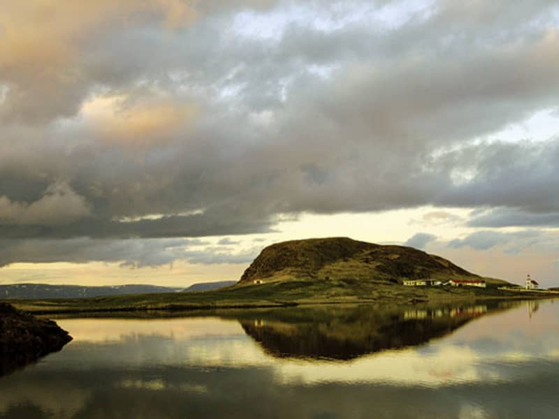
Helgafell Holy Mountain
Helgafell – A Sacred Mountain Through the Ages  
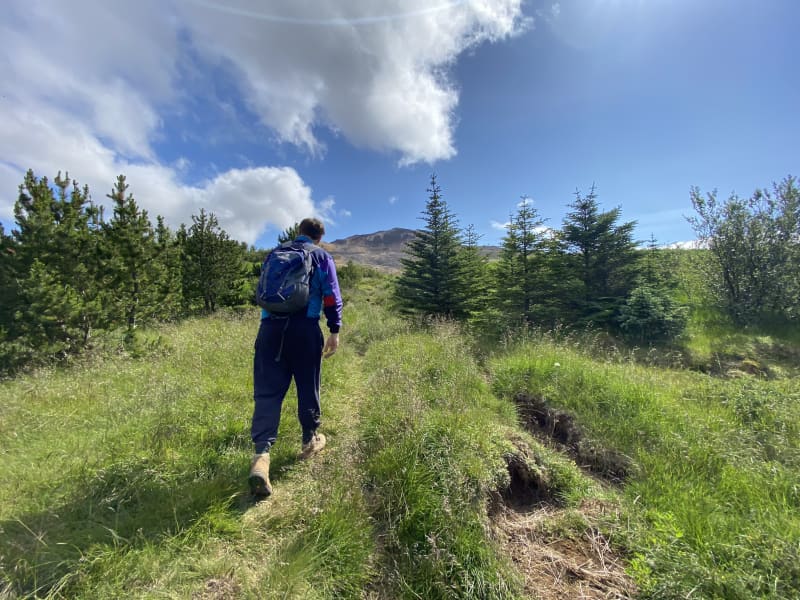
Climb Helgafell in silence – where folklore, faith and a breathtaking view come together in a moment that stays with you.  
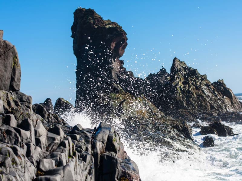
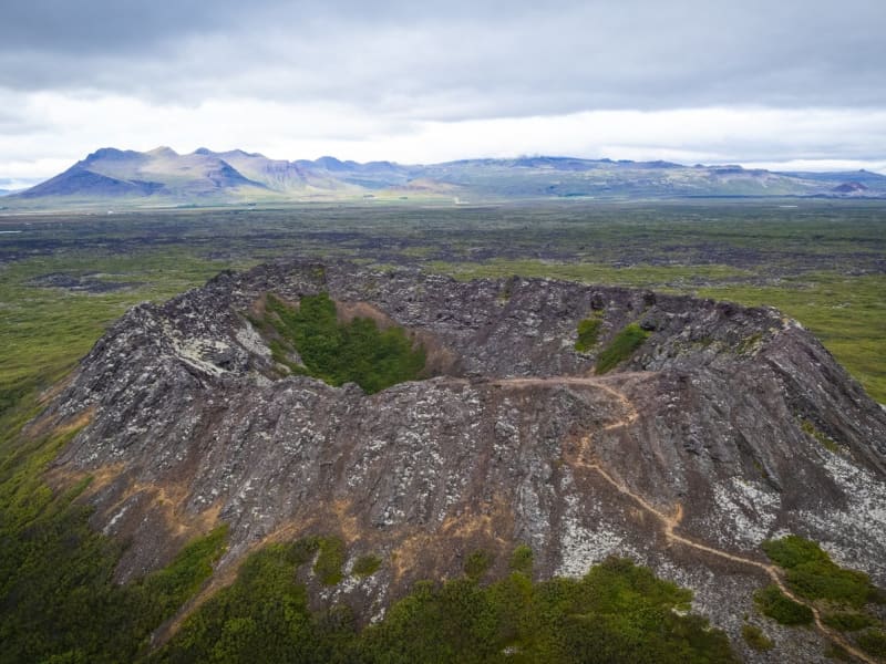
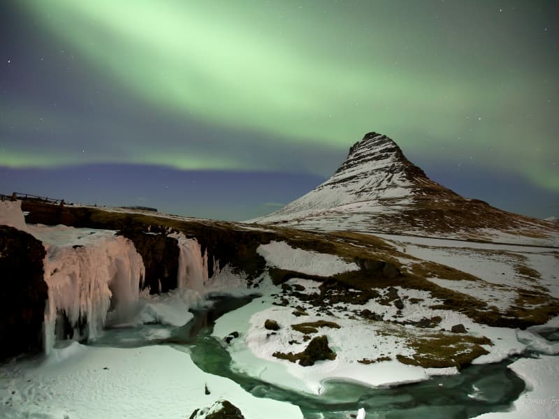
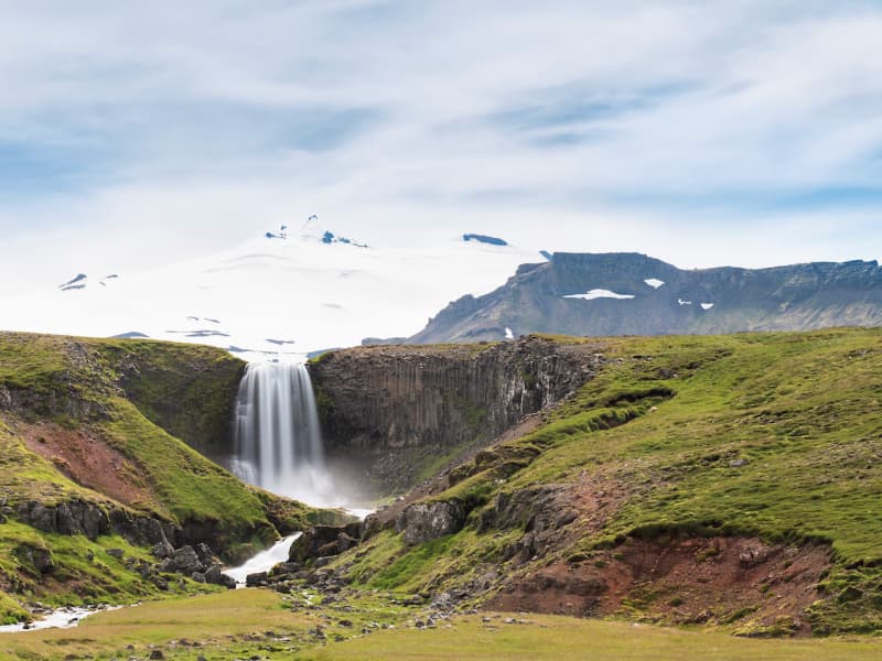
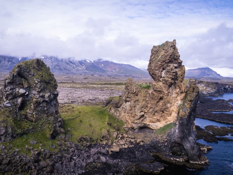
Just south of Stykkishólmur rises Helgafell – a low hill in height, but towering in the story of a nation. Though it stands only 73 metres tall, the mountain dominates the landscape around it, alone and distinct. Since the earliest days of settlement, Helgafell has been deeply intertwined with the spiritual life of Icelanders, and remains to this day one of the most sacred natural landmarks in West Iceland. The settler Þórólfur Mostrarskegg claimed this land and named it Þórsnes. According to the Sagas, he dedicated the mountain to his god Þór (Thor) in the Old Norse tradition. At the base of the mountain, he built a temple to Þór, and here was also held the regional assembly of the Westfjords – known as Þórsnesþing. This ancient connection still lives on in the cultural spirit of the area – for instance, in the coat of arms of the town of Stykkishólmur, where Mjölnir, the hammer of Thor, serves as a symbol of protection and identity.  Helgafell is also linked to one of the strongest female figures in the Icelandic Sagas: Guðrún Ósvífursdóttir from Laxdæla saga. She lived at Helgafell in her later years, and legend has it that she is buried there.  
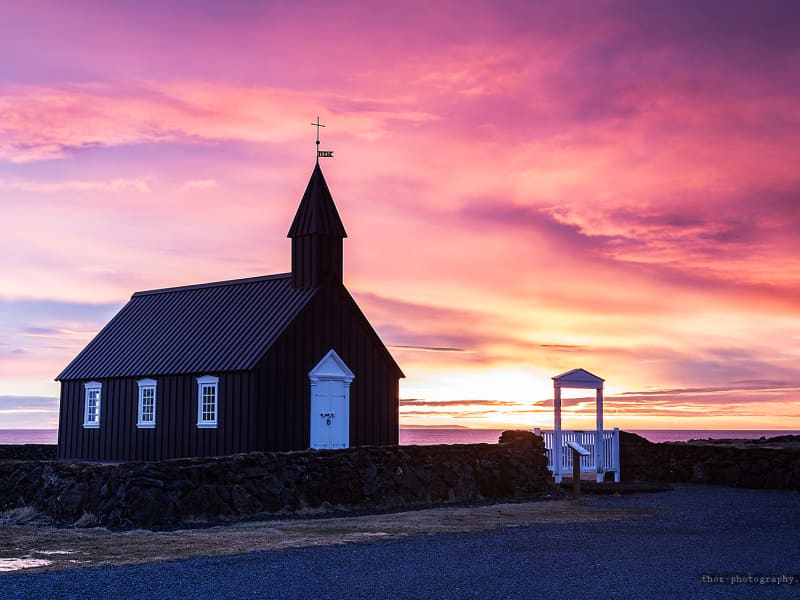
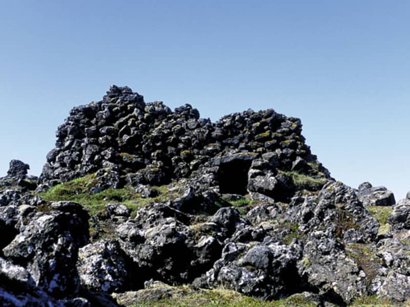
Following the Christianization of Iceland, a monastery was founded at Helgafell – a centre of learning and literature, where many books were written. Today there is a church on the site, which also served as a rectory for centuries. Helgafell has thus remained a symbol of faith and continuity – from pagan roots to Christian heritage – across Icelandic history.  A local folk belief says that if you climb the mountain in silence, without speaking or looking back, you may make three wishes at the top – so long as they are made with a pure heart and kept secret.  
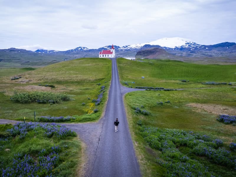
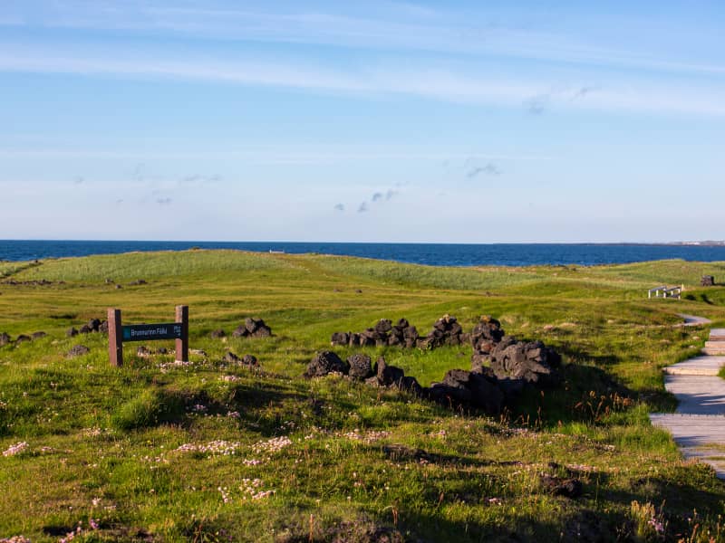
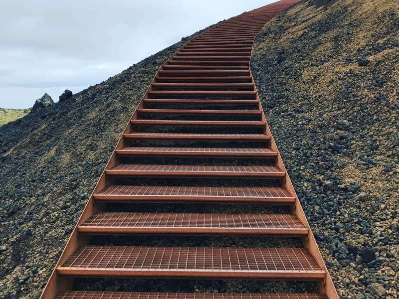
Today, a marked walking path leads from a small car park at the base to the summit. At the top, a viewing dial offers wide-ranging views: over Helgafellssveit, Þórsnes, Breiðafjörður Bay, the Snæfellsnes mountain range, and the distant highlands of the southern Westfjords and Dalir region. The walk is short, but the experience and views are powerful and captivating. Respect the sacredness of the site. Walk gently, speak no word – and wish with your heart.    
Hellnar
For centuries, Hellnar was among the largest fishing villages beneath the Snaefellsjokull ice cap. Valasnos, a freestanding rock, extends east of the bay. One of Iceland's most peculiar caves, Badstofa, is there. It is known for its special light exposure and colourful interior. A cold water spring is to be found at the lava's edge. It is dedicated to the Holy Virgin because it is said she appeared there once. The Hellnar church was built in 1945 on a picturesque site where a church was first raised in 1833. Located at Hellnar is a Hotel and a charming little café.
Ingjaldshóll Church
This former parsonage and estate between the villages Hellissandur and Rif was the common assembly site of the parish in the past. The present church was built in 1903 and is the oldest concrete church of the country, perhaps even the world. When it was built, it received a replica of the altarpiece of the Lutheran Cathedral of Reykjavik.
Svöðufoss waterfall
Svöðufoss is a beautiful waterfall in the Hólmkelsá river. The waterfall is 10 meters high and falls off a beautiful basalt column cliff. a parking lot has been built near the waterfall so today it is fairly easy to visit and enjoy. The walk from the parking lot to the waterfall is only about half an hour.
Malarrifsviti, Light house in Snæfellsnes
Outermost on Malarrif on Snaefellsnes is a lighthouse that was build the year 1917, close to Londrangar.  A newer lighthouse was build 1946 and is 20,2 meters also an house for the lighthouse keeper as build, a bit later.  The lighthouse was protected the year 2003, along with six others along the coastline, when 125 years had passed since the first lighthouse was build in Iceland. 
Snæfellsjökull glacier
The Snæfellsjökull glacier at Snaefellsnes peninsula is 1446m above sea level. The glacier is an active volcano, having been built up through numerous eruptions during the last 800,000 years. Many believe the glacier to be one of the seven main energy centres of the earth and its mystique is noticed by many. The glacier plays big role as the Center of the Earth in the novel Journey to the Center of the Earth (1864) by Jules Verne. Snæfellsjökull is a part of the Snæfellsjökull National Park which  was established on June 28, 2001. The Park's purpose is to protect and conserve the areas unique landscape, indigenous plant and animal life as well as important historical relics. At the same time, the Park is meant to allow visitors easier as well as improved opportunities to get to know the area. Driving on the Glacier is prohibited except with a permission from the park ranger.  
Street art town Hellissandur
Hellissandur, a small village on the Snæfellsnes Peninsula, has transformed itself into an open-air gallery that surprises visitors with vibrant street art against the rugged Icelandic landscape. Known as the "Street Art Capital of Iceland," the town's murals are painted by a mix of both Icelandic and international artists, who draw inspiration from the rich cultural heritage, natural beauty, and local folklore unique to the region. The murals are spread across the village, but many of them cover the walls of the old fish factory, a central spot where colorful art now contrasts with the industrial setting. Each piece is distinct, often inspired by themes like marine life, Icelandic sagas, volcanic landscapes, and mystical creatures. Artists have brought stories to life, from the playful depictions of puffins and whales to the ethereal images of local folklore figures, turning the village into a living art exhibit. The street art is also part of a larger effort to revitalize Hellissandur, attracting visitors and celebrating the creative spirit of the community. Many of the murals are repainted or refreshed each year, making every visit a unique experience. Walking through Hellissandur, visitors encounter both the vibrant art and the natural beauty of the Snæfellsjökull glacier in the background, making it a truly remarkable fusion of culture and landscape.
Ondverdarnes, Lighthouse, in Snaefellsnes.
Ondverdarnes in Snaefellsnes, a lighthouse. The first lighthouse was build there 1909. A new lighthouse was then made out of concrete the year 1973, taller than the old. 
Londrangar basalt cliffs in Snaefellsnes
Uniquely-formed remnants of ancient basalt volcanic dikes sticking out from the sea. Londrangar and the hill Svalthufa are the remains of a crater, which has been eroded to its present form by the sea. The farmers in the area never made or make hay on the hill, because it is said to belong to the elves living in the area. Younger lava fields surround this old crater ruin. The higher pillar (75m) was first climbed in 1735 and the lower (61 m) in 1938. Below the hill you may find Thufubjarg cliff where according to a folktale the poet Kolbeinn Joklaskald had an encounter with the Devil. On these cliffs, puffins and fulmars have their nests.
Vatnshellir Cave in Snaefellsnes peninsula
Exploring Vatnshellir Cave is truly an amazing and unforgettable experience. This 8.000 year old Lava Tube reaches over 200 meters and reaches 35 meters below the surface. During summer, guides tours are offered from 10am-6pm. During winter season 2 tours are offered per day. Please check the website www.summitguides.is for further information.  All guests are provided suitable equipment such as flashlights and helmets.  Hiking shoes and warm clothes are recommended.  10 minutes drive west of Arnarstapi, 25 minutes south of Hellissandur.  Further info:  info@summitguides.is - summitguides.is - (+354) 787 0001 
Löngufjörur beach
Löngufjörur is a light sandy beach on the south shore of Snæfellsnes Peninsula. This beach is perfect for horseriding with an experienced guide. It's not recommended to hike/walk there without a guide who knows the area well. It's important to be careful around cliffs in the area and know the tides. The beach can always be dangerous due to unpredictability of the waves and quicksand. 
Malarrif in Snaefellsnes
At Malarrif is the Visitor Center for Snaefellsjokull National Park. It´s fun to walk around the area and explore the nature, the beach and the lighthouse. 
Öndverðarness
Ondverdarnes is the westernmost point of Snaefellsnes peninsula. In the olden days there was a huge fishing industry in Ondverdarnes, compare to other places in Iceland and many small houses were both fisherman and resident lived. The farm, itself, became desolate in the year 1945. There are still some ruins there and also a lighthouse.  From the ruins you can see that many people lived at Ondverdarnes before. Also you can see a very ancient will, named Falcon (Fálki), made out of stones, that you have to walk down few steps to reach to the water. There is a folk tale about this will, that three types of water come out of it. 
Saxhóll crater
Saxhóll Crater is located in the Snaefellsjokull National Park. It´s easy to climb and the view from the top is spectacular. A low-set metal stair follows the path´s course to the top. The stair is made up of modules three meters long and 1,5 meters wide that hold seven treads each between solid stingers with open risers. The units join together like a necklace on the slope. The stairs were awarded Rosa Barba International Landscape Prize 2018 which are the fourth awards the project achieves since 2017. 
Skarðsvík
In stark contrast to the majority of black sand beaches in Iceland, Skarðsvík resembles a Mediterranean shoreline with turquoise water and the surrounding dark, volcanic landscape. Be warned, the waves at Skarðsvík are renown for being aggressive. It is recommended to visit the beach at low-tide in order to ensure safety.
Súgandisey Island at Stykkisholmur, Snaefellsnes
Sugandisey, island at Stykkisholmur at Snaefellsnes. Was former an island but now connected to land. Some say that because of this island Stykkisholmur is a town now.  Many people like to walk to this island, looking at the birds and the beautiful scenery over Breidafjord bay and all the surroundings.  There is a lighthouse on the island 
Svalþúfa og Þúfubjarg
Svalthufa is a high cliff teemed with birdlife and there is a great view to Lóndrangar Cliffs, the front part is named Thufubjarg. Lóndrangar are uniquely-formed remnants of ancient basalt volcanic dikes sticking out from the sea. The higher pillar is 75 m high and the lower one is 61 m. On these cliffs, fulmars have their nests. At Malarrif is the Visitor Center for Snaefellsjokull National Park and it´s fun to walk around the area and explore the nature.  The Devil itself and Kolbeinn the Glacier-poet once sat side by sig at Thufubjarg. They were competing about whom were better poet, as is said in an old folks tale. The Devil lost and Kolbeinn became his master, as is said in the tale.