Jafnaskarðsskógur forestry hiking trail


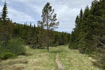
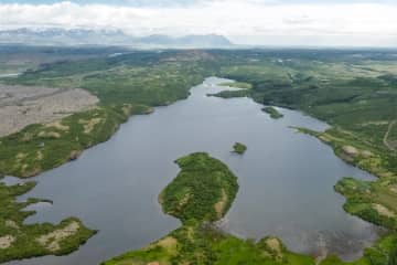
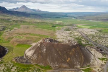
Jafnaskarðsskógur forestry is one of Vesturland's outdoor recreation secrets. A footpath was first laid around the forest in 1995, but since then it has been well maintained and the forest is connected to other interesting walking paths. Jafnaskarðsskógur is located on the slope southwest of Hreðavatn, but the view from the hills above the forest is magnificent. A view of Eiríks-and Langjökull glaciers, Hreðavatn lake and the surrounding countryside as well as a view to Skjaldbreið mountain and Botnssúla mountains in the distance.
Turn off highway no. 1 at Grábrókarhraun and drive to Hreðavatn lake. Drive past summer cottages on the way before arriving to a well-marked parking lot. The walking paths are varied, with steep slopes mixed with easy paths. The trails are not marked but very visable and have been well maintained. There are many viewpoints in the area, as well as resting places, with tables and benches. Visitors can spend a whole day in this area, but there are also many natural beauties close to Jafnaskarðsskóg forestry, such as Grábrók, Glanni waterfall and Paradísarlaut.
Area: Jafnaskarðsskógur forestry, Borgarbyggð.
Road number to the starting point: Parking lot by the forestry (road Hreðavatn no. 5258).
Level of difficulty: Moderate.
Length: 2.47km.
Elevation: 141 meters.
Markings: No markings.
Duration: 40 minutes.
Route type: Small rocks and grass.
Obstacles on the way: There are steps on the trail.
Service in the area: No service.
Illumination: No illumination.
Season: The route is open all year round but be aware of winter condition on the route.
GPS coordinates to the staring-and finishing point: N64°45.3059 W021°35.7743

