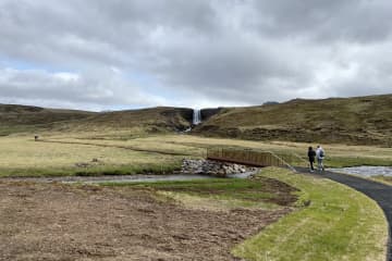
Ólafsvík walking trail


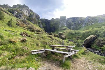
A hiking trail around Ólafsvík borders and into the town's heart is enjoyable and diverse. Service area is located at the campsite and a lot of resting places along the trail. Information signs are plentyful on the trail along side playground equipment for all ages. The trail is suitable for everyone who wants to enjoy.
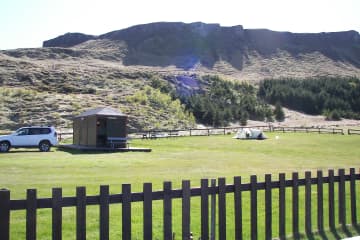
There is a campsite located on the eastern borders of Ólafsvík and it takes about 10 minutes (walking) into the center of Ólafsvík. There you will find facilities for guests like toilets, showers, electricity, cooking facilities and waste disposal. An equipped playground is also located in the area. Guests who walk through the many hiking trails available, will have the chance to be in contact with nature, appreciate beautiful vegetation and nature. Resting stops area also available on the way. Ólafsvík hiking trail is varied and fun.
The Ólafsvík Forestry Association has put up all the efforts on connecting the forestry with the town, but also with building up a hiking trail going up the mountain Enni and the mountainous area above Ólafsvík. There's plenty of information on the hiking trail, views of Ólafsvík and forestry. The area is ideal for outdoor activities, and there are numerous activities along the way such as Frisbee golf courses, hop balloons and more.
- Area: Ólafsvík
- Road number to the starting point: Útnesvegur (nr. 574) at the Ólafsvík campsite
- Level of difficulty: Easy
- Length: 4.26km/2.64 miles
- Elevation: 50 meters/164 feet
- Markings: Stakes
- Duration: 1 hour
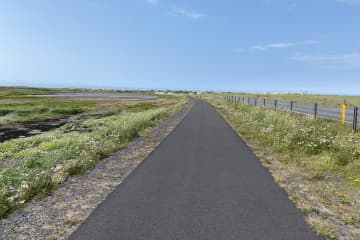
- Route type: small rocks, woodchips
- Obstacles on the way: Steps on the way
- Services in the area: Campsite service center
- Illumination: No illumination
- Season: This trail is open all year round
- GPS coordinates starting point: N64°53.3401 W023°41.2849
- GPS coordinates finishing point: N64°53.3401 W023°41.2849

